
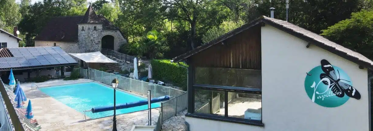
Access & contact Camping Domaine Papillon in the Lot, near Figeac

Do you have a question, a travel plan, or need some advice?
For any request regarding Camping Domaine Papillon in the Lot, near Rocamadour and Figeac, please carefully fill out the form below (contact details, dates, type of accommodation, message).
Our team will get back to you quickly with a precise and personalized response.

Do not hesitate to contact us
68 Impasse de Cachelaurent
46320 Reyrevignes – France
+33(0)565401240
info@domaine-papillon.com
GPS Coordinates
Decimal (WGS84): 44.654529, 1.921559
Degrees/minutes/seconds: 44°39’16.31” N • 1°55’17.61” E
Tip: copy and paste the coordinates into your application (Google Maps, Apple Maps, Waze) then press “Start”. If your network is limited, download the offline map before departure.
Getting to the campsite
By car
From Paris / North
Take the A20 (L’Occitane) towards Limoges → Brive → Cahors. Then follow signs for Figeac, then Reyrevignes. Enter the GPS coordinates as you approach Figeac for the final kilometers.
From Toulouse / South
A20 motorway towards Cahors, then follow signs for Figeac. Near Figeac, follow Reyrevignes and let the GPS guide you to Camping Domaine Papillon.
From Bordeaux / West
A89 to Brive-la-Gaillarde, then A20 towards Cahors. Continue towards Figeac → Reyrevignes. Enter the GPS coordinates for precise guidance.
From Clermont-Ferrand / Center-East
A75 (or A89) depending on your route, then connect towards Aurillac / Figeac (N122/D roads). As you approach Figeac, follow Reyrevignes and finish with the GPS.
From Rodez / Aveyron
Head towards Figeac, then Reyrevignes. Enter the GPS coordinates to arrive directly at the campsite entrance.
Final kilometers (useful regardless of origin)
From Figeac (approx. 15 min), follow Reyrevignes, then let your application guide you to GPS point 44.654529, 1.921559. Do not take unpaved paths if your GPS suggests them: stick to local roads and follow the “Camping Domaine Papillon” signs.
By train
Figeac Station (TER / Intercités). From the station: taxi or VTC (approx. 15–20 min to the campsite). Remember to book your transfer in advance during high season.
By plane
Rodez–Aveyron (RDZ): ~1 hr drive
Brive–Dordogne Valley (BVE): ~1 hr 15 min
Toulouse–Blagnac (TLS): ~2 hr

Practical tips
Download the local area map in offline mode before arriving.
Enable location services and check the “paved roads” mode on your GPS.
If in doubt, enter the point 44.654529, 1.921559 directly and follow the suggested route.
We are at your service for any route-related questions. Have a safe trip and see you soon at Camping Domaine Papillon!